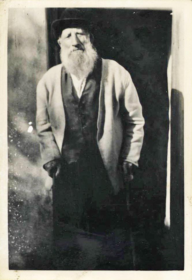
The Irish Tourist Association Topographical and General Survey Files were compiled by the Irish Tourist Association, the forerunner to An Bord Fáilte (now known as Fáilte Ireland). These surveys were carried out in the 1940s and they cover over 90 parishes across the county from Adrigole to Youghal. The surveys were presented to Cork County Library by the Library Council in 1983. The topographical and general survey assessed the existing level of tourist amenities and facilities in the county with a view to pinpointing areas with potential for development. The survey studied topography, geology, residences of note, sports, accommodation/catering and amenities. These surveys provide an immense amount of information about Cork social history, and they offer a glimpse into the day to day lives of people living in the 1940s. They are also significant for the information they provide about local archaeological and historic sites and associated customs and folklore.
Scanned images of the entire collection are now available to view in the Local Studies Library. This project was supported by the Heritage Council under the Heritage Stewardship Fund 2022.
The survey of an individual area was compiled using 5 different forms:
Form A: This dealt with natural features, topography and the geology of the area. In addition, detailed descriptions of antiquities and archaeological sites, castles, estates and historic houses and burial places were recorded. Furthermore, information relating to any local spas or mineral springs, curiosities, customs, patterns and local folklore were noted. This section of the file is also full of extended notes by the surveyor on local antiquities and historic sites, sometimes accompanied by sketches, drawings and photographs.
Form B: This section gives information on sports and games such as angling, golfing, hunting, coursing, rowing, sailing, cycling and athletics.
Form C: This section provides information on amenities and public services such as beaches, bathing and swimming facilities, parks, gardens, recreation grounds, camping sites, public transport, dance halls, cinemas, theatres, libraries, church services, garages, petrol stations, postal and banking services. In addition, information on social clubs and cultural societies, industries, crafts and the names of colleges and schools was also recorded.
Form D: Similar headings and categories to Form C such as amenities and general information about the town or village, though without references to facilities relating to seaside areas which were recorded in Form C.
Form E: This section details information about accommodation in the local area and the names of hotels, guest houses and boarding houses, as well as the names of local restaurants and cafés.
The photographic collection formed part of the survey undertaken in the 1940s by the Irish Tourist Association. The photographs from the I.T.A. collection, numbering over 260, have been digitised and are accessible online.
The following is a list of digitised ITA files for County Cork arranged alphabetically according to parish. Hard copies are also available to view in the Local Studies Library.


