Maps Collection

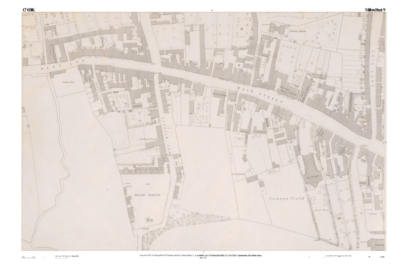
Our collection of maps offers a fascinating insight into the cartographic heritage of the county. The 19th century Ordnance Survey town maps of Mallow, Passage West, Queenstown (Cobh) and Youghal are at a scale of ten feet to one mile, showing a great amount of detail in these towns. The Standish Barry estate map from 1846 and the Ponsonby estate maps from the late 1860s/early 1870s are another interesting resource for the study of Cork’s rich history.

Ordnance Survey Ireland - Town Maps

A collection of 19th century town maps of Mallow, Passage West, Queenstown (Cobh) and Youghal, County Cork. These maps are at a scale of ten feet to one mile, showing great detail in these towns.

See more at the digital archive

Standish Barry Estate Map

This unique collection offers a rare insight into the life of an estate in east Cork during the mid-nineteenth century. The Standish Barry Estate Maps were donated to Cork County Library in 2001 by the family of the late Professor Dr Richard G. Barry.

See more in our highlights

Ponsonby Estate Maps

The Ponsonby family were members of the landed gentry. This branch of the Ponsonby family was descended from John Ponsonby (1713-1787) speaker of the House of Commons in the Irish Parliament and second son of Brabazon Ponsonby, 2nd Viscount Duncannon and 1st Earl of Bessborough.

See more in our highlights

Bandon Town Map from 1860s

Cumann Seanchais na Banndan donated a map of Bandon town c. 1860s to Cork County Library in 2023. With support from Cork County Council and the Heritage Council, under the County Heritage Plan Funding, this map has now been digitised and a print of same was unveiled in Bandon Library to celebrate Heritage Week 2023.

See more at our digital archive