We are delighted to display the Royal Irish Academy’s Exhibition titled Mapping Urban Ireland: an exhibition of historical maps of Irish cities and towns as part of the Local Studies Library exhibition for Heritage Week 2024. This exhibition also explores the history of Cork’s unique cultural landscape through a series of historical maps.
To complement this exhibition, the Local Studies Library will showcase items from our own map collections including an early edition of the book Maps of the Roads of Ireland Surveyed 1777 by Taylor and Skinner, published in 1778.
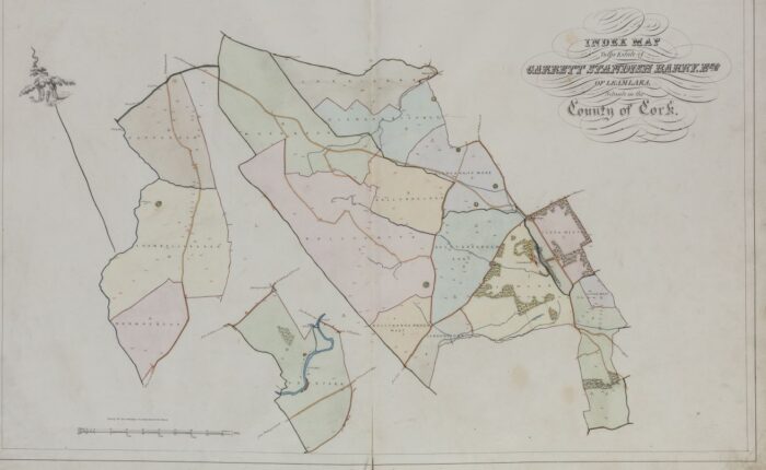
The exhibition also includes information on the Down Survey (1656-58), the Ordnance Survey (1824-1846), the Standish Barry Estate Map of 1846 and the 1860s Bandon Town Map.
Venue: LHQ Gallery , Cork County Council Library & Arts Service, County Library Building, Carrigrohane Road, Cork T12 K335
The exhibition will be on display for Heritage Week from Monday 19th to Friday 23rd August and it will continue until August 30th. The exhibition will be open Monday to Friday, 9am to 5.30pm.
Admission is free and no prior booking is necessary.
For more information contact us on 021 4285640 or email localstudieslibrary@corkcoco.ie.
A podcast on maps and local history is also available to listen to via our podcast page: https://corklocalstudies.ie/podcasts/
For more information on Heritage Week events taking place in libraries around Cork County please visit the Heritage Week website: What’s On | National Heritage Week 17th – 25th August 2024


